« Interesting ..... | Main | Thanks for nothing Mister Brown »
April 30, 2008
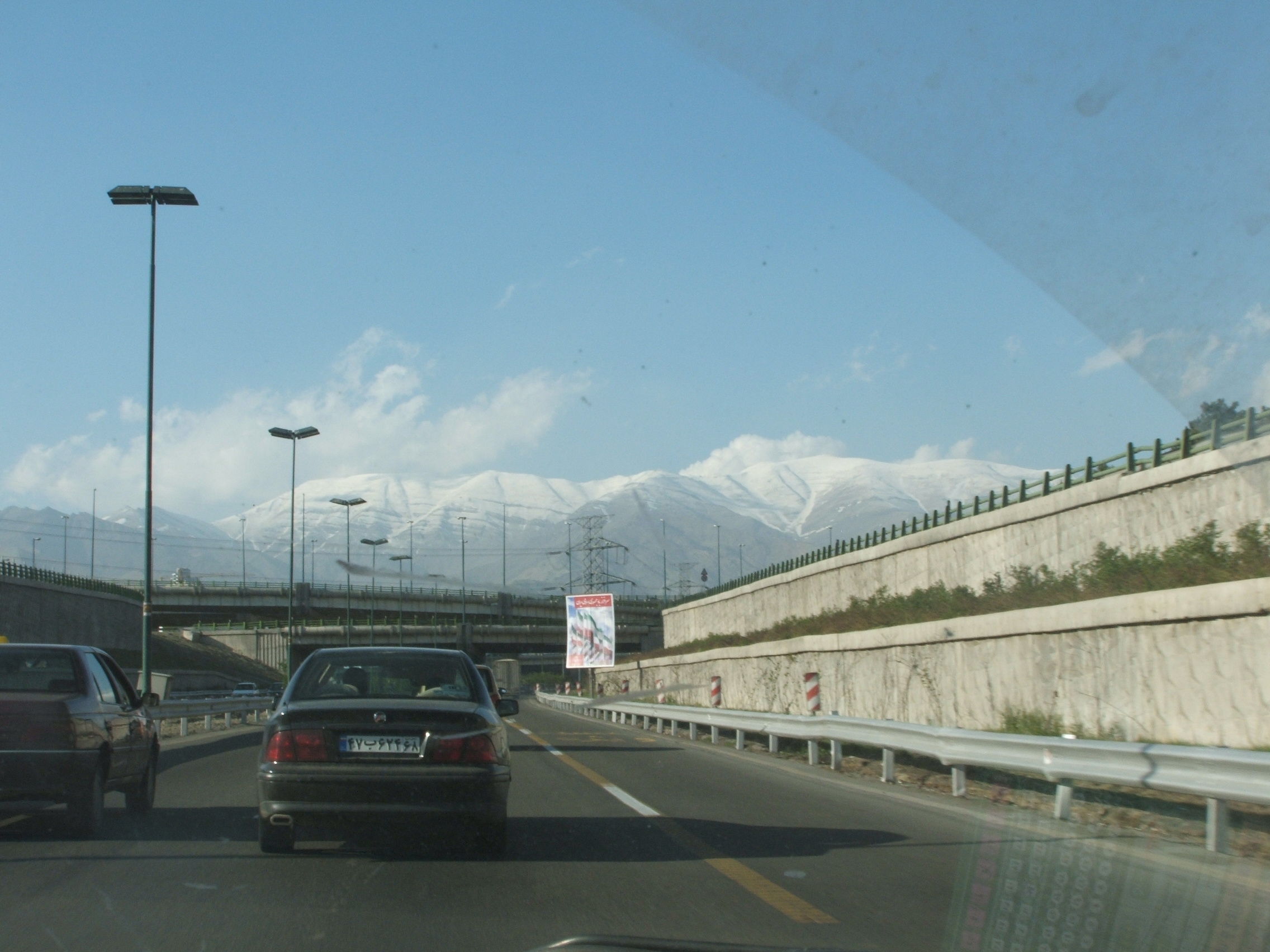
The view from the motorway ....
Tehran is a sprawling city, covering much the same sort of area as Greater London in surface area. The population is roughly 15 million by day falling to 8 million at night. It sits in a bowl formed by the Alborz Mountains, the highest peaks of which are perpetually snow clad. The peaks in this photo are some 3,600 metres in height, but behind them is another towering up to 5,000 metres. Just to the North East is another, magnificent cone shaped mountain which is a dormant volcano. The whole area lies on a large tectonic fault line and is earthquake prone, a factor which must be considered when building anything here.
The mountains are spectacular and the snow line changes on a daily basis.
Seen from the Expressway, the mountains north of Tehran tower over the city which sprawls between the ancient city of Ray to the South East and Darakeh in the North. The oldest part of Tehran is in the foothills of the mountains and the streets are narrow and overshadowed by tall buildings and lots of trees.
To the South East of Tehran is a vast area of marshes and lakes, lying in a depression known as Dasht-e-Kavir. Though it is a "depression", it is still some 3,000 feet above sea level according to my atlas, yet it is completely ringed by mountains and does not drain to the sea. Certainly the area immediately south of Tehran is extremely fertile and the crops produced by the timeless and intensive methods of manual labour are very rich indeed. Fascinating to watch people using these ancient systems to irrigate small areas in which grow wheat, tomatoes, strawberries and many other crops.
In winter the whole area can be covered by snow several feet thick - probably another reason for the fertility of it all.
Posted by The Gray Monk at April 30, 2008 07:07 AM
Trackback Pings
TrackBack URL for this entry:
http://mt3.mu.nu/mt/mt-tb.cgi/5409